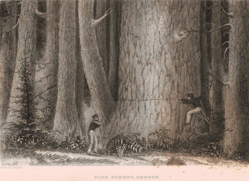
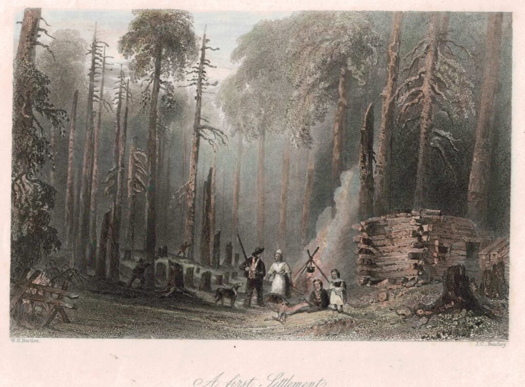
Hello to all! I sincerely thank you for visiting this page and also inviting those that haven’t, to go on my site and learn more about a story that entwines truth with fiction, you get to pick which. Thinking back into early Oregon history, to get a glimpse at those wild forests that may have served well in harboring bipeds. Here’s one such, from the U.S. Exploring Expedition, navigating the lands near the USA and all over the pacific in 1838-42. This was also to chart the whaling and seal grounds to prevent shipwrecks. I’ll say one thing for Charles, his charts stood the test of time. They actually used them into WW2. America’s great fleet of six ships, mapping the Pacific, then the Oregon Territory in 1841, losing a ship named “The Peacock” that wrecked on the north spit of the Columbia River, hence the name, “Peacock Spit. ” Fortunately, most all hands survived and got aboard another boat.. All of the preamble to introduce the 2nd pic. forest scene, near the Columbia River, ca. 1841. The other, is from that time, perhaps more like Sierras. Close…